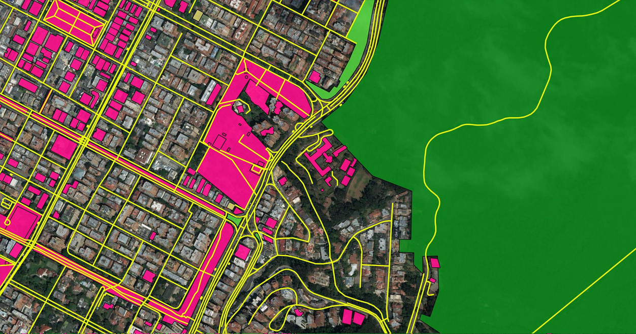
TechInAfrica – Satellite and terrain maps are two of the most prominent key aspects in this modern era. Google Maps, for example, applies both of them and offers users the availability to alternate between the two for easier understanding; if you can’t find an address or if you’re simply lost in between blocks of concrete jungle, internet-based satellite maps serve as a potent solution. Ecopia Tech, a Toronto-based company, has recently raised 6.5 million US dollars to digitally map the terrain of sub-Saharan Africa into a mapping of high-definition vector imageries.
Supported financially by Sustainable Development Technology Canada (SDTC), Ecopia Tech aims to map roughly 342 million buildings, 2.36 million linear miles of roads and 1.43 billion acres of forests, in a statement released by the Canadian firm. This project is heavily relying on the capabilities of their own artificial intelligence platform.
Previously, back in 2018, Ecopia Tech had mapped a full, rural and urban map of Tanzania in collaboration with Maxar Technologies, an American space tech company. The full projection took approximately three weeks, accurately positioning 18,588,871 buildings across the East African country through high-resolution satellite imagery.

Digital maps are used for locals and tourists alike for numerous purposes; one of them is to provide utmost efficiency in terms of cost and time—as well as to bolster and support the urban planning schemes and monitoring the environment. Not only limited to technical purposes, digital maps also serve as a beneficial subject to vaccine distribution, traffic control, disaster prevention, and to project where the next developments of the region should take place.
Via their official project site, Ecopia Tech professed, “until now, Sub-Saharan Africa has been operating without consistent access to accurate information about their geography – resulting in inefficiencies and inaccuracies in decision making across the continent.”
Source: moguldom.com
 We just launched our WhatsApp channel. Want to get the latest news from the Tech in Africa?


